Land Surveying Services

Land Survey schematics.

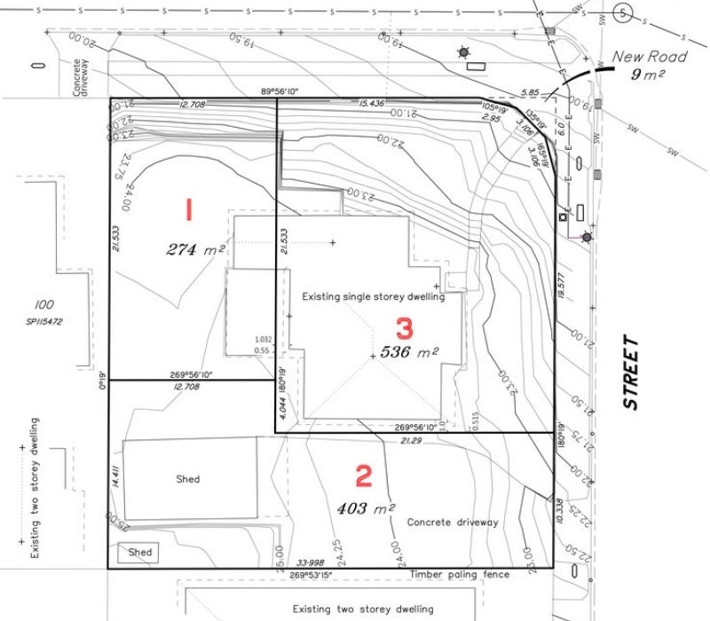
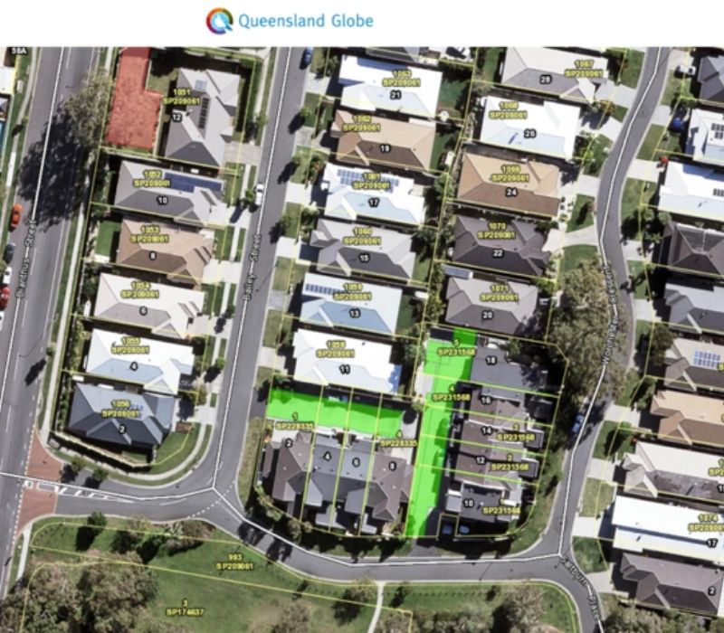
Proposal plans are documents that show property boundaries including any infrastructure such as houses and sheds in relation to the boundaries along with the proposed development.

Go to Proposal Planning

Surveying on a verandah.
A contour and detail survey involves a site survey to plot all relevant detail from the subject site.


Go to Contour & Detail Survey
Surveying land.

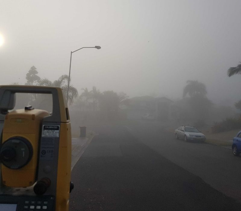
A residential set out survey is required for new residential builds to control where a house is built in relation to the relevant survey plan and approved building plans.

Go to Residential Set Out Survey

Surveying on a hill.
Civil set out surveys are required for any new infrastructure such as roads, sewers, storm water, and kerbs.


Go to Civil Set Out Survey
Surveying a basement.

Commercial set out surveys are required for projects such as childcare centres, local shops, industrial sheds or high rise office buildings.

Go to Commercial Set Out Survey

Surveying residential estates.

The purpose of an identification survey (boundary survey) is to determine the true location of the boundaries of a particular property.

Go to Identification Survey

Surveying backyard with big trees.
A subdivision is where one or more parcels are broken up into more parcels, whether that be land or units within buildings.


Go to Subdivision Survey
Surveying on a hill.

Height surveys and certifications largely relate to surveying a finished floor level or roof height for a newly constructed structure.

Go to Height Surveys and Certification

Surveying on a foggy day.

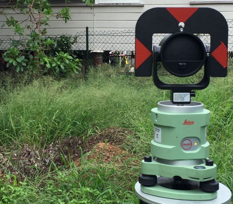
The purpose of an as constructed survey is to verify that construction or installation of a particular structure or service has been built or erected in accordance with the approved plans. 

Go to As Constructed Survey

Surveying a backyard.

Community Title Scheme surveys are commonly conducted for subdividing units and townhouses, however, can also be for subdividing land.

Go to Community Title Scheme Survey

Sonto Surveying a stadium perimeter.

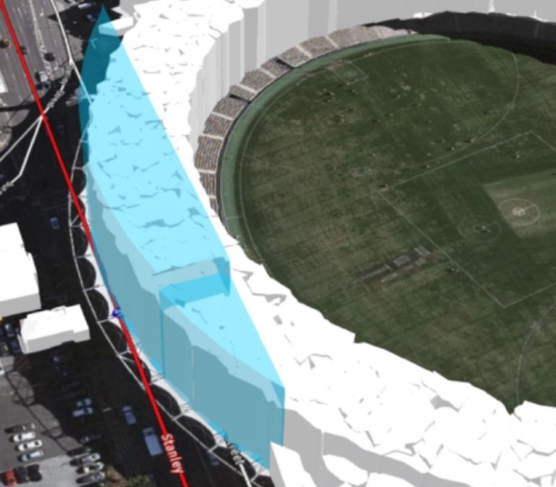
A volumetric survey is the comparison of two or more topographical survey results conducted at different points in time. Volumetric surveys can be required for a number of reasons.

Go to Volumetric Survey

Shovel in ditch.

An amalgamation of parcels is where two or more lots are combined to create fewer lots, without splitting any of the existing lots.


Go to Amalgamation Survey

Surveying grassland.

Secondary interest surveys are commonly required when a landowner wishes to allow another landowner to utilise their own land for a particular purpose.

Go to Secondary Interest Survey

Surveying parkland.

Resumptions surveys are required where construction authorities have the ability to resume land under the Acquisition of Land Act 1967  for particular purposes. Unlike subdivision surveys, resumption surveys do not require local government approval.

Go to Resumption Survey

Surveying on a verandah.

Lease of land surveys are required when leasing a portion of land from another entity. A survey plan is required to locate the land to be leased in relation to the boundary of the subject parcel or lot.  


Go to Lease of Land Survey

Surveying a basement.

Lease over part of a building is generally required when a lease is taken out on an area within a commercial property.

Go to Lease of Part of a Building

We would love to work with you.

Tell us about your project via the form below or get in touch over the phone to discuss how we can improve your project.

Call Now Button