
Subdivision Survey Services
A subdivision is where one or more parcels are broken up into more parcels, whether that be land or units within buildings. Contact Sonto today for subdivision land surveys in Brisbane and Gold Coast to ensure your project is compliant and accurately surveyed.
Brisbane Office: 07 3520 0948
Gold Coast Office: 07 5646 4367
To complete a Subdivision Survey there are a number of factors that need to be taken into account along with other professional services that may be required through the process.
Understanding the planning scheme for a particular local authority is imperative before a development application (DA) can begin. The planning scheme outlines what can and cannot be done in a particular area as well as feasibility of the proposed subdivision. For example, it will set out a small lot definition for a particular zone, which could be 450m2. If a parcel within this lot definition is 800m2, a reconfiguration of boundaries into 2 lots would not be feasible. By consulting with a Town Planner in collaboration with a Surveyor a solution for the development can be identifed.
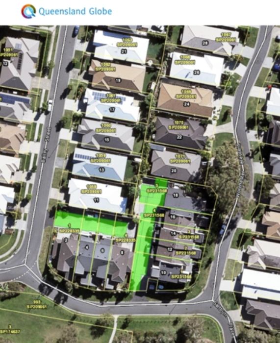
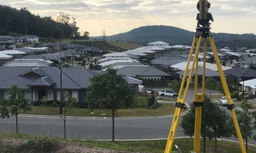
The development application process requires a proposal plan showing the contours and the proposed new boundaries. To obtain this type of data a Contour and Detail Survey is required on Australian Height Datum (AHD). Depending on the size of the subject parcel, we would recommend carrying out an Identification Survey (especially in older areas) as the area may be smaller than what is shown on the original plan of survey. This is more relevant for projects where the proposed lot sizes are within 5m2 of prescribed minimum lot size for that zone.
Once the Surveyor and Town Planner have finalised the development application and it is approved by the relevant council, the Surveyor can then complete the survey to reinstate the boundaries, mark out the new boundaries and prepare a plan of survey.
Prior to the Surveyor completing any field work, an analysis of historical survey plans is required to determine the evolution of the boundaries. This involves Sonto purchasing survey plans held in the Department of Natural Resources, Mines and Energy that have affected the parcel to be subdivided and nearby parcels.
Following the approval by the relevant council, specific development conditions will be prescribed and will need to be adhered to throughout the development to complete the subdivision. Certain conditions will need to be certified by a consultant, engineer or surveyor to demonstrate compliance with these conditions. This process forms part of the plan sealing component of a subdivision survey. Sonto can complete plan sealing which accompanies the subdivision survey.
Contact our friendly team to learn more about subdivision surveys.
Depending on what other interests have been registered on the title will depend on the actions required by the solicitor to lodge the plan in the Titles Registry.
If a mortgage exists, a consent from the bank is required. If easements need to be surrendered, the benefiting and burdening parties need to agree and sign another form to be lodged. If there is a priority notice on registered, investigations need to be determined if it will prevent the plan from being registered. This is where the collaboration of a surveyor and lawyer can help the process run smoothly.
Once the council have sealed the plan and all the documents are completed, the survey plan and documents can then be lodged with the titles registry office for the issue of the new title.
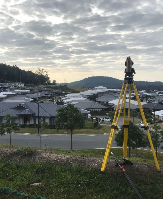
In simple terms, a subdivision survey reinstates existing boundaries and cadasral information and places boundary pegs or marks at the relevant boundary intersections.

Why Choose Us?
With 20 years of trusted survey experience, our range of surveying services ushers in a new era of precision and efficiency for architects, designers, developers, and builders. We’re dedicated to pushing boundaries, maintaining consistent excellence, and constantly exploring new ways to add value in an ever-evolving industry.
- Quick Quote & Project Turnaround Times
- Industry Leaders and Innovators
- Time and Project Efficiency
- Decades of Experience
- Responsive at Any Project Stage
We would love to work with you.
Tell our subdivision land surveying experts about your project via the form or get in touch over the phone to discuss how we can improve your project.
Brisbane Office: 07 3520 0948
Gold Coast Office: 07 5646 4367