Development Survey Services
The development of land results in the creation of additional parcels of land. Development surveys use existing boundary and topographical data to reconfigure land parcels to allow for additional lots. It is then a surveyor’s role to register the interest of that land with the relevant department through a process of plan sealing.
Brisbane Office: 07 3520 0948
Gold Coast Office: 07 5646 4367
For more information on surveying services specific to developments, see below:

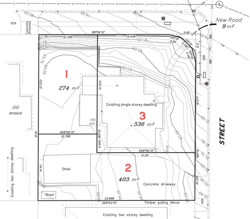
Proposal plans are documents that show property boundaries including any infrastructure such as houses and sheds in relation to the boundaries along with the proposed development.

Go to Contour & Detail Survey

The purpose of an identification survey (boundary survey) is to determine the true location of the boundaries of a particular property.

Go to Subdivision Survey

Community Title Scheme surveys are commonly conducted for subdividing units and townhouses, however, can also be for subdividing land.

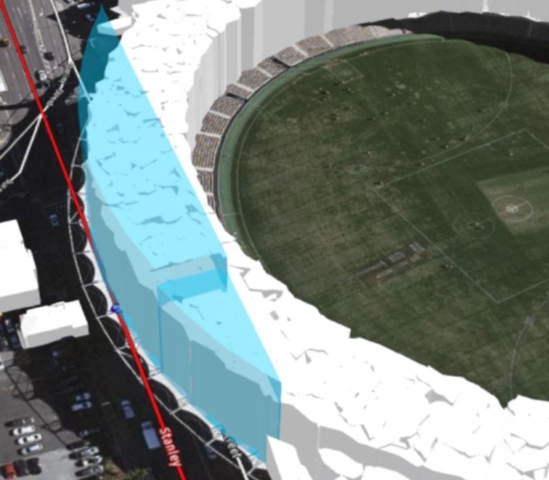
A volumetric survey is the comparison of two or more topographical survey results conducted at different points in time. Volumetric surveys can be required for a number of reasons.
Topographic and Feature and Level Surveys capture ground elevation and terrain contours down to the millimetre.

Lease of land surveys are required when leasing a portion of land from another entity. A survey plan is required to locate the land to be leased in relation to the boundary of the subject parcel or lot.
We would love to work with you.
Tell us about your project via the form below or get in touch over the phone to discuss how we can improve your project.

