Boundary Identification Survey
At Sonto, we recognise the vital importance of accurately identifying property boundaries. Our boundary identification surveys offer clarity and legal assurance, making them essential for property owners, developers, designers, builders, and legal professionals.
With a commitment to accuracy and exceptional customer service, we ensure every boundary is precisely identified, marked, and drafted. Each survey complies with relevant legislation, maintaining the integrity of the cadastre. For reliable Boundary Surveys in Brisbane and the Gold Coast, choose Sonto – our extensive experience and innovative solutions are just a phone call away.
Brisbane Office: 07 3520 0948
Gold Coast Office: 07 5646 4367
What is a Boundary Identification Survey?
A boundary identification survey, also known as a property boundary survey or a cadastral boundary survey, determines the exact location of a property boundary and the extents of ownership or title.
These surveys are crucial for anyone looking to buy, sell, renovate, build, develop, or simply ascertain the extents of their property. A boundary identification survey plan serves as a legal document to settle disputes, plan developments, or establish land ownership with traceable accuracy.
Contact our team to learn how Sonto can provide a Boundary Identification Survey for your project.


Why Choose Us for Your Boundary Identification Surveys?
Expertise and Precision: Leveraging years of expertise and regularly serviced and calibrated survey equipment, our licensed surveyors deliver highly accurate boundary surveys. We strictly adhere to legal standards and regulatory requirements, ensuring your survey stands up in any legal context.
Customised Service: We recognise that each property is unique. Our team tailors every boundary survey to meet the specific needs and challenges of your property, ensuring all legal and physical aspects are thoroughly addressed. This might include identifying structures located over boundaries, potentially resulting in an encroachment.
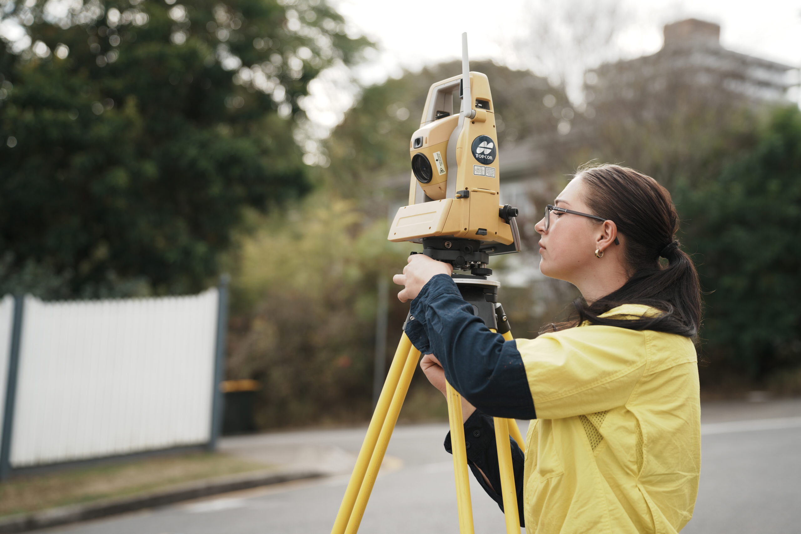
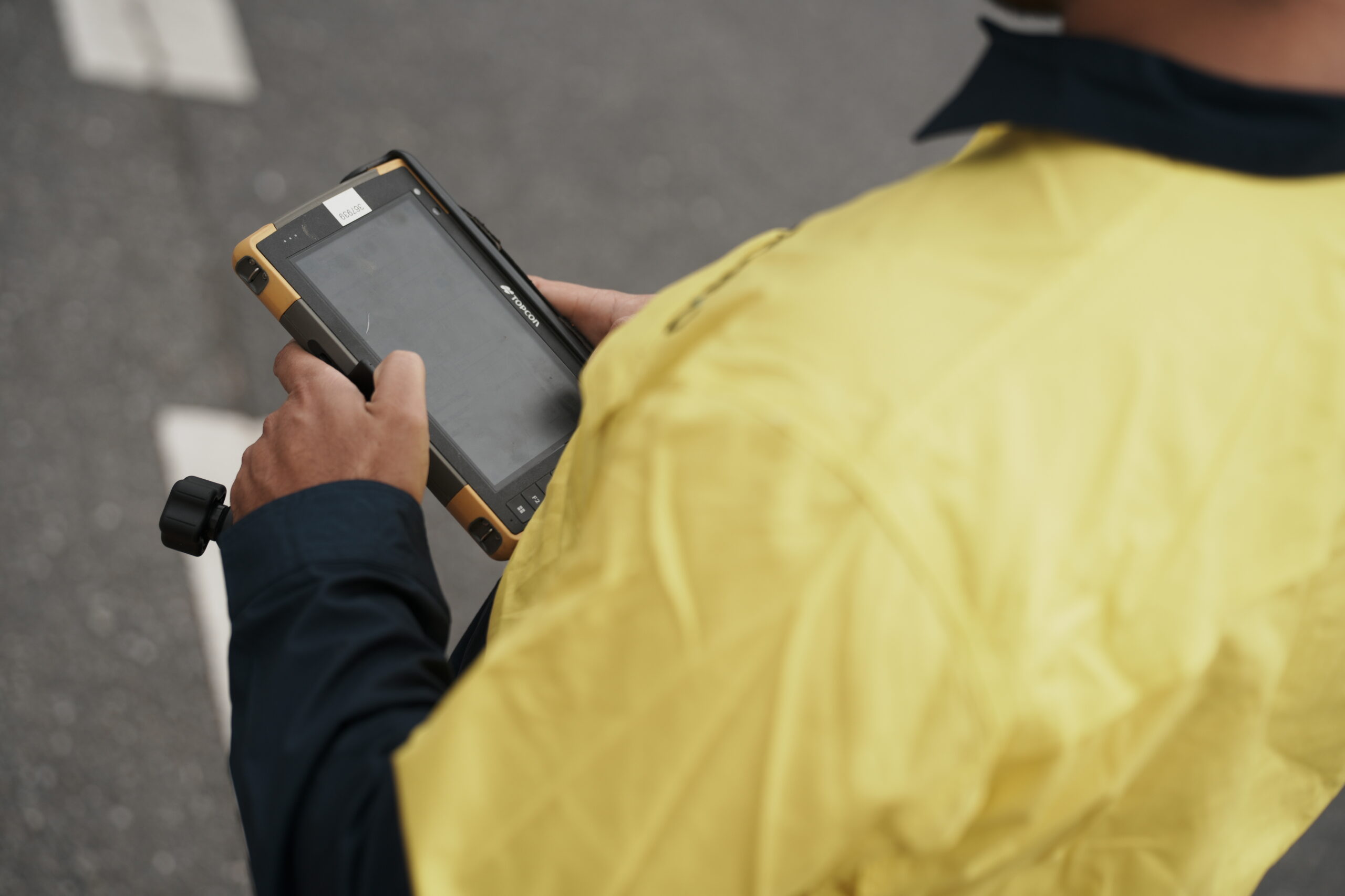
Advanced Technology: Utilising the latest in total station technology provide precise and efficient property boundary survey solutions. Our equipment is maintained, serviced and calibrated regularly to ensure its accuracy and traceability.
Commitment to Excellence: We are committed to upholding our values of excellence and innovation in every project. Our focus on delivering exceptional customer service ensures a smooth experience from start to finish.
Applications of Boundary Identification Surveys
Property Transactions: Ensure the accuracy of property descriptions in legal documentation during buying or selling and potentially identifying encroachments during this process.
Construction and Development: Having a clear picture of the location of property boundaries to plan and execute construction projects without encroaching on neighbouring properties, potentially causing delays and cost overruns.
Dispute Resolution: Provide authoritative evidence in disputes over property ownership, land usage and encroachments.
Regulatory Compliance: Comply with development approval and building approval conditions that might require boundaries to be accurately located. This also includes satisfying the requirements from building certifiers to sign off on renovations or new construction.


Our Boundary Identification Survey Process
- Consultation: We begin by seeking to understand the intent of the property boundary survey to focus our approach. Each client requirement might have site specific nuances that would change the survey approach.
- Research & Project Analysis: Our licenced surveyors conduct comprehensive research and analysis on the plans and documents gathered as part of the project analysis phase of the project.
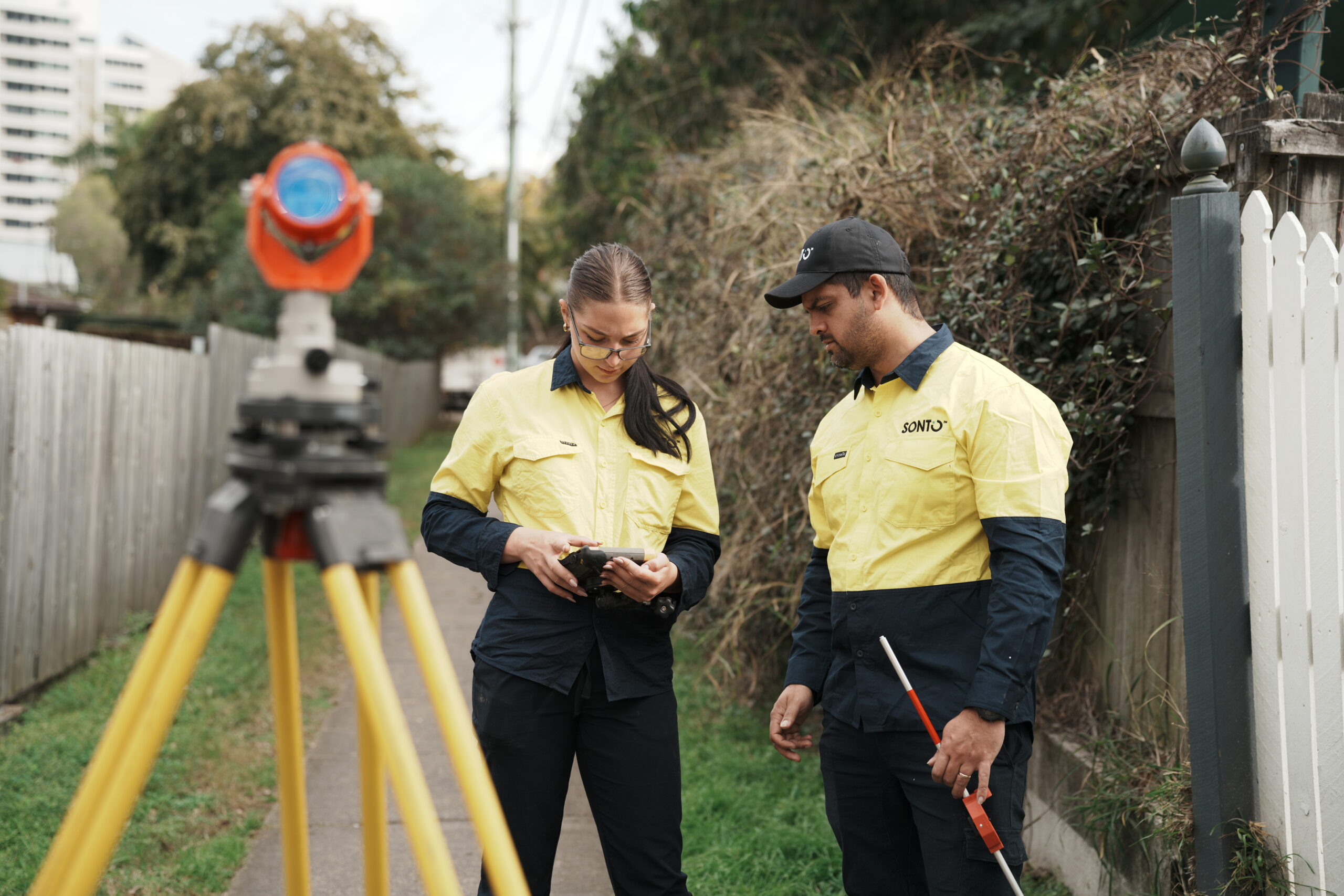
- Field Work: Our skilled surveyors perform the necessary field surveys to locate and connect to known survey reference marks and tactfully reinstate the boundaries of any property. They’re meticulous in their accuracy and throughout the QA processes, eliminating any potential errors.
- Reinstatement and Plan Development: We process the field data and carry out the boundary reinstatement process. This process is carried out by the field surveyor and done to best practice methodology. This is followed by a thorough quality assurance process carried out by our licenced cadastral surveyor.
- Delivery and Support: Post-survey, we remain available to discuss any questions and provide additional support as needed. We are not lawyers and can only assist with information specific to the cadastral boundary survey. We know property specific lawyers we can recommend if required.
Why Choose Us?
With 20 years of trusted survey experience, our range of surveying services ushers in a new era of precision and efficiency for architects, designers, developers, and builders. We’re dedicated to pushing boundaries, maintaining consistent excellence, and constantly exploring new ways to add value in an ever-evolving industry.
- Quick Quote & Project Turnaround Times
- Industry Leaders and Innovators
- Time and Project Efficiency
- Decades of Experience
- Responsive at Any Project Stage
Choose Sonto for a Trusted Boundary Identification Survey
Contact us today to ensure your property boundaries are defined with the highest level of service, accuracy and experience.
Brisbane Office: 07 3520 0948
Gold Coast Office: 07 5646 4367
Read About:
