
Identification Surveys
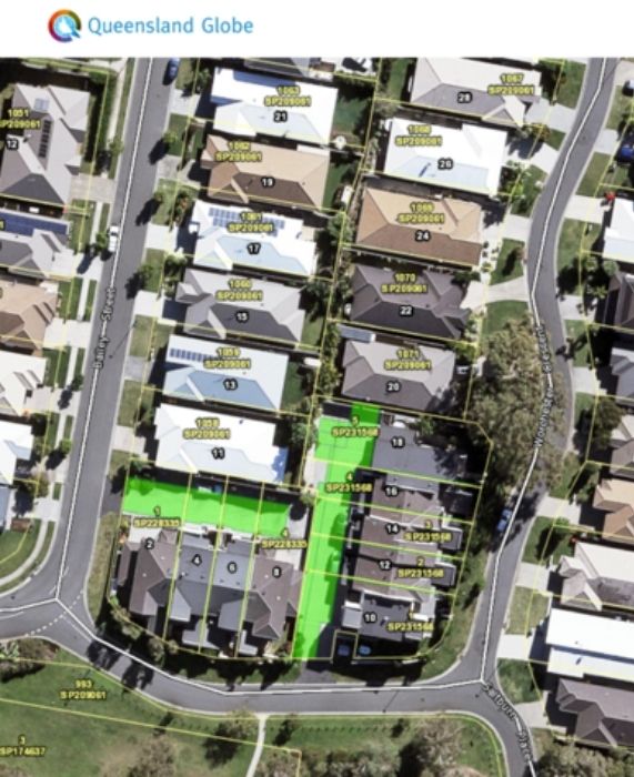
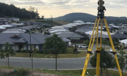
The purpose of an Identification Survey (Boundary Survey) is to determine the true location of the boundaries of a particular property.
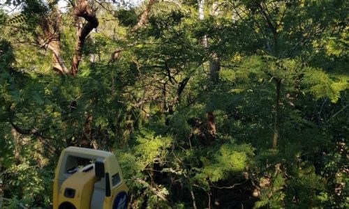
During the boundary survey, existing structures on the subject property and neighbouring properties will be located to determine if any structure is encroaching.
Encroachments from neighbouring properties is one reason why a boundary survey might be required, we’ve provided some additional instances where an boundary survey might be required. See below for when we would recommend engaging Sonto to complete a boundary survey:
- Boundary dispute
- New construction
- Renovation construction
- Future development
- Building new fences, retaining walls or block walls.
- Suspicion of encroachment from neighbours
- Purchasing a property
It is not a requirement in Queensland to get an identification survey during the purchase of the property, however, a boundary survey can identify any boundary issues a property might have.
If you are suspicious of any boundary issues prior to purchasing a property, a boundary survey might provide you peace of mind before you complete the transaction.
Perimeter fences are often located off the boundary, which means they can either be located either side of the boundary, often by a considerable distance. This is often the case for old areas throughout Brisbane, which can often lead to further issues of structures such as sheds, carports and dwellings encroaching on neighbouring properties as the ecxisting fences were used to measure from to begin construction.
By completing a boundary survey as part of the conditions of sale and prior to the contract going unconditional, it can prevent the new owners from walking into a situation where they will need to potentially complete a boundary realignment. A boundary realignment requires local government approval, town planning and survey fees, all of which could add tens of thousands of dollars to the cost of the property.
Properties that share a boundary with a watercourse such as a river, creek or dam can be subject to the watercourse changing overtime.
These changes are usually caused by erosion and accretion along with other factors such as sudden events like storms that can cause the boundary along the watercourse to move. Therefore, the boundary of the creek that was surveyed originally may not be in the same location today.
When a boundary survey is completed, a title is obtained to determine what the rights, responsibilities and restrictions are registered on a specific title. One of our registered surveyors can then provide further information on what this means. Some common examples include easements, mortgages, administrative advices, notice of intention to resume and caveats. By being aware of these items registered on a title and understanding what they mean and how they impact the landowner prior to purchasing can be extremely beneficial. An example of this could be a title that includes an easement for a garbage truck turn around point.
For any construction work, if a boundary survey is not completed before construction begins, there is potential that works are not built within the boundary. This type of error could be costly and could result in delays, rectification or compensation claims from the builder or neighbours. There are some construction that is more likely to create issues for encroachments or potential boundary issues. We would recommend contacting us to determine if what your proposing is likely to cause boundary issues.
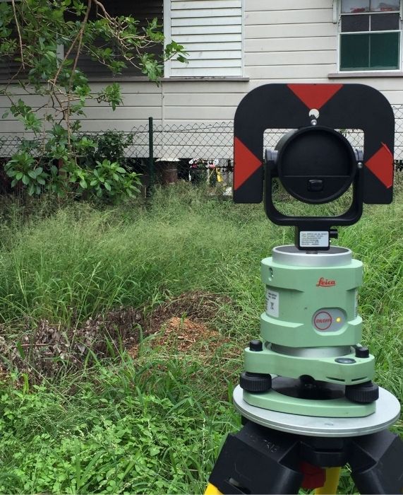
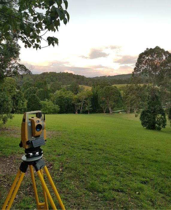
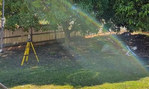
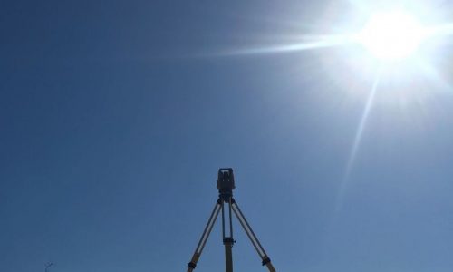
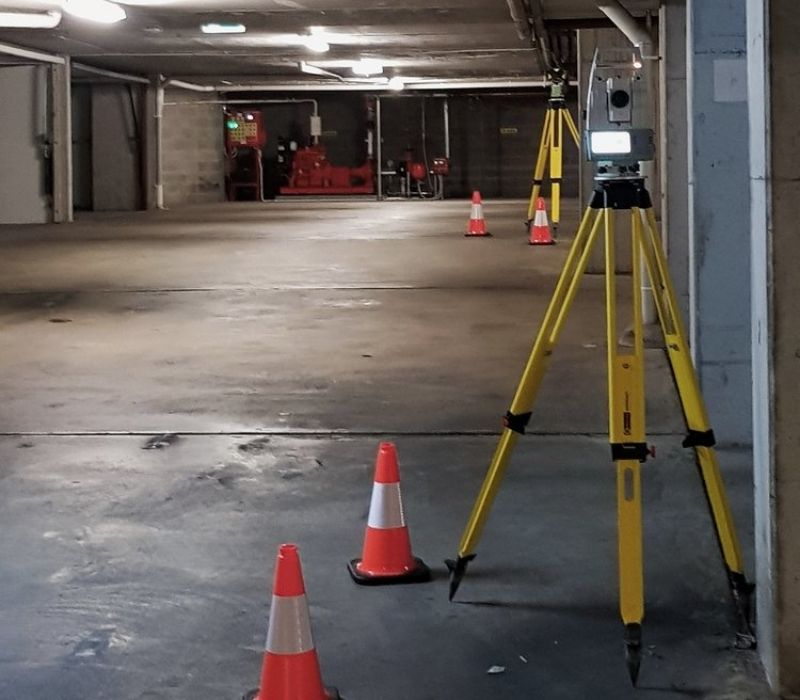
In simple terms, an identification survey (boundary survey) locates the true location of the boundary of a particular property by placing boundary pegs or marks to demarkate the boundary.

Read about
Commercial Set Outs
Subdivision Surveys
We would love to work with you.
Tell us about your project via the form below or get in touch over the phone to discuss how we can improve your project.