Great design relies on accurate information. We provide the surveys, point clouds and spatial datasets designers need to understand existing conditions and reduce assumptions, as well as moving projects from concept to documentation with as much confidence as possible.
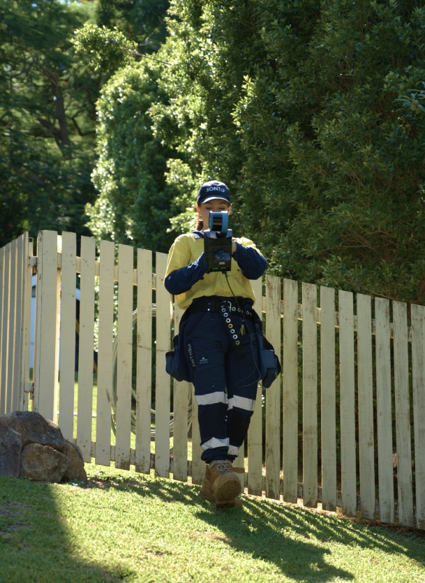

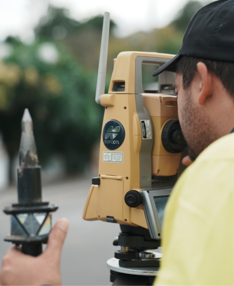
We capture accurate spatial data using surveying, scanning or drone technology, tailored to the needs of your project.
Our team processes and validates the captured data to produce accurate survey plans, point clouds or spatial models.
We deliver clean, usable datasets ready for design, planning or construction workflows.

Accurate site data is the foundation of great design. If you need reliable surveys, fast turnaround and spatial data ready for modelling, our team is ready to help move your project forward.
Or leave your message below and we’ll get in touch soon.