Mobile mapping uses vehicle‑mounted or handheld sensors, including LiDAR, high‑resolution cameras and GNSS, to capture comprehensive spatial data while in motion. This approach is ideal for large sites, large food processing facilities, complex processing centres and built environments where traditional static survey methods are slow or inefficient.
At Sonto, we deliver detailed point clouds, imagery and location data that empower faster design, planning, modelling and analysis without compromise.
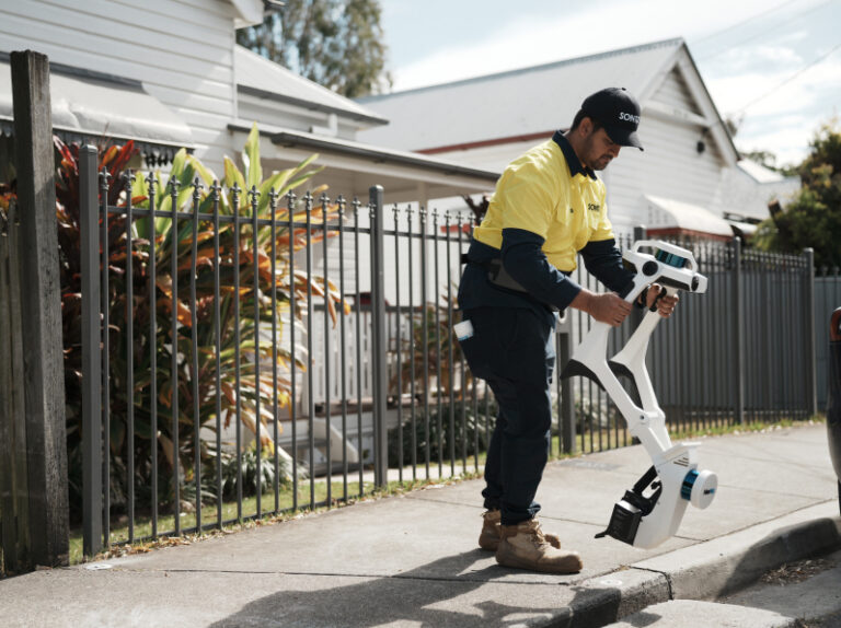
A mobile unit equipped with LiDAR, cameras and GNSS travels your site, capturing spatial data continuously and dramatically reducing onsite time while collecting richer data than static surveys.

Captured sensor data is merged and processed into a coherent point cloud, showing surfaces, structures and features with high accuracy and excellent context.
We deliver your data in formats ready for modelling, analysis, and design, accelerating workflows and reducing time to insight.
Mobile mapping excels on expansive or linear projects, from estates and campuses to road corridors, where static capture would take far longer.
A mobile unit equipped with LiDAR, cameras and GNSS travels your site, capturing spatial data continuously and dramatically reducing onsite time while collecting richer data than static surveys.
Contact us for a quoteCaptured sensor data is merged and processed into a coherent point cloud, showing surfaces, structures and features with high accuracy and excellent context.
Contact us for a quoteWe deliver your data in formats ready for modelling, analysis, and design, accelerating workflows and reducing time to insight.
Contact us for a quoteMobile mapping excels on expansive or linear projects, from estates and campuses to road corridors, where static capture would take far longer.
Contact us for a quoteWe tailor the capture strategy to your site and goals, deliver clean, structured data, and support your downstream workflows with formats that accelerate design, modelling and planning outcomes.

We confirm your site, objectives and output expectations to shape the capture strategy.

Our team selects the right sensor suite and capture path to maximise data coverage and quality.

We conduct the mobile mapping run, capturing rich spatial data with speed and precision.

Your data is merged, checked and delivered in usable formats ready for design and modelling.
Sites with large footprints, long corridors, estates, campuses, or linear infrastructure benefit most. It’s an efficient way to capture rich spatial context across expansive areas with minimal disruption.
Mobile mapping delivers rich context with excellent positional accuracy, especially when paired with ground control, and is usually much faster for large areas. Static methods still have value for highly controlled detail capture.
We deliver data in standard formats compatible with most CAD, BIM and point cloud tools. You can also review datasets via our Nexus platform without specialist software.
Capture time depends on site size and complexity, but mobile mapping is often completed in hours versus days with traditional techniques, then processed and delivered quickly.
Mobile mapping is primarily for external or linear environments. For internal or highly constrained spaces, we combine it with 3D scanning or bespoke capture methods to meet your needs.

Whether it’s a large site or a complex corridor, our mobile mapping delivers rich, spatially complete datasets. Call, email or send us your project details to organise your survey.